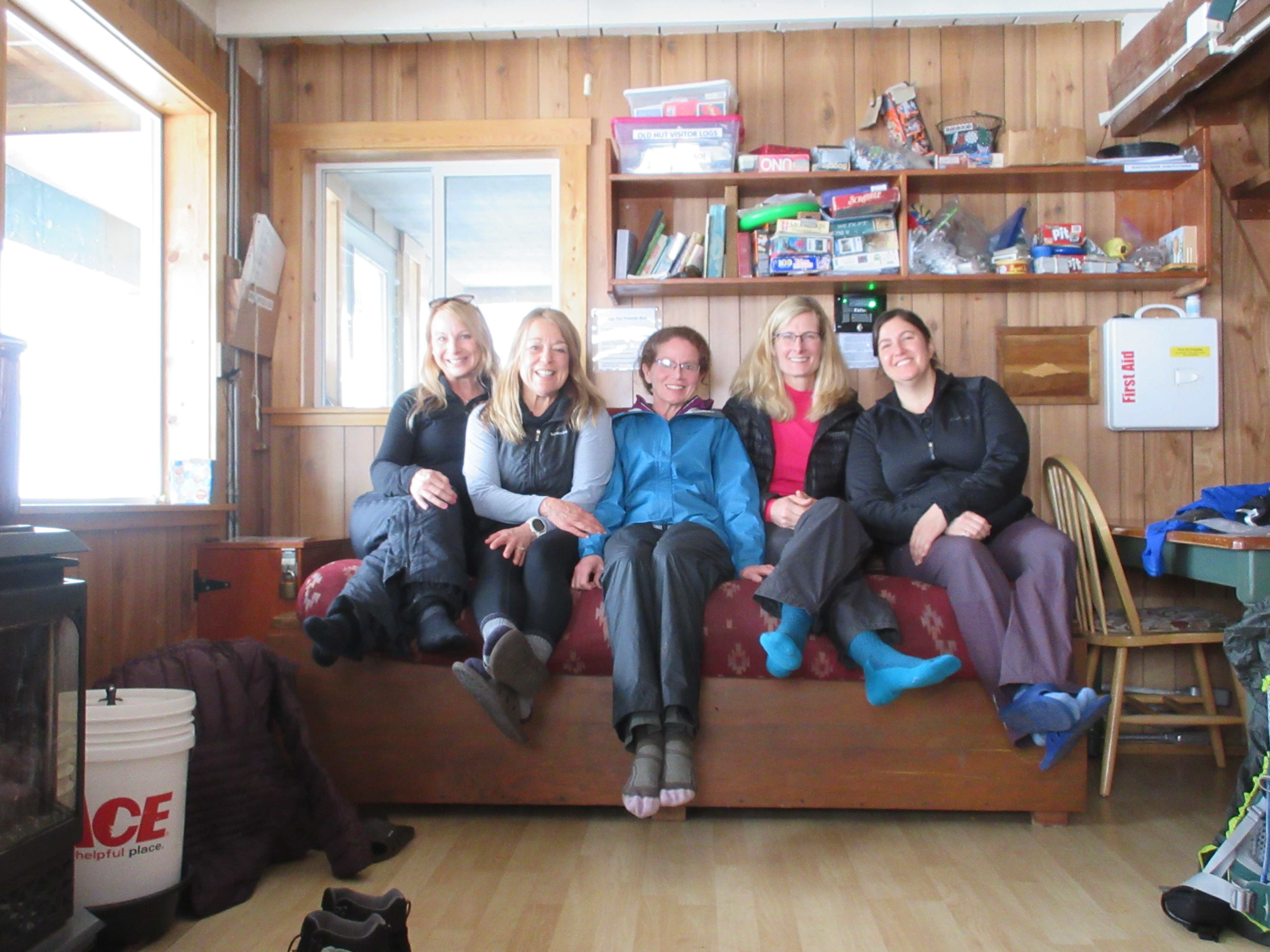
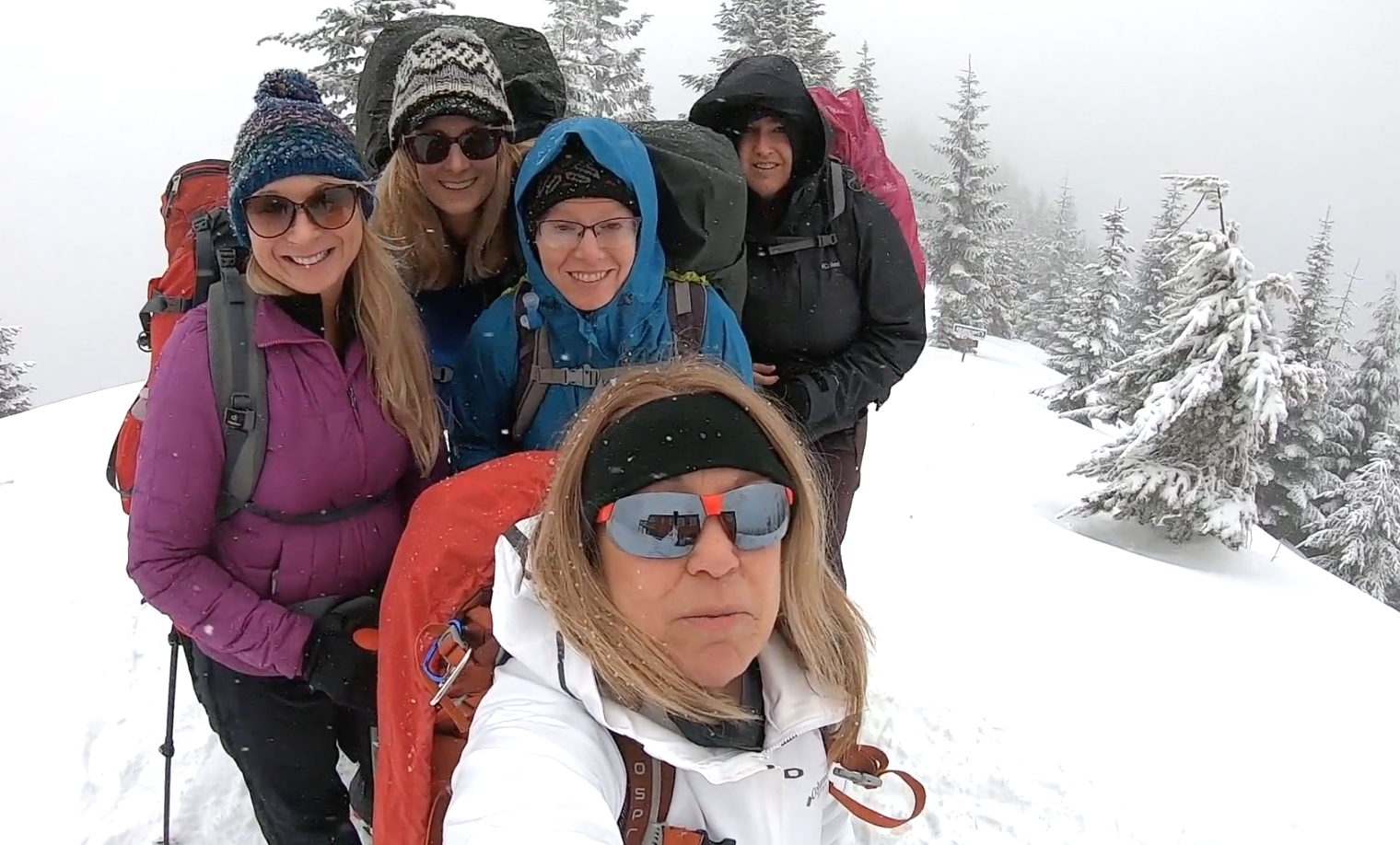
Meet Candace. This week Candace and I met to go over our itinerary we are submitting for the Wonderland Trail. We have a few others who may hop on and off the trail along the way but mostly it will be just Candace and myself and then the potential of meeting close to 100 more folks that we have no idea who they are and they don’t even know who they are yet. In other words, it is a random lottery fest to see who gets the coveted permit within the desired window of time. Mt. Rainier National Park holds the statistics on the lottery with only a small percentage being issued ahead of time and most all handed out after appearing at the door of a ranger station ready to go.
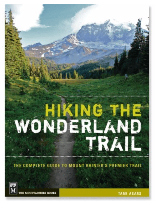
I am sure I put too much thought into it but, the most popular and currently used book is Tami Asars, “Hiking the Wonderland Trail”. Since Tami Asars book is currently so popular, we picked the more leisurely 13 day trek and settled on submitting our permits for both counter-clockwise and clockwise, mid August, beginning at Mowich, a less desirable starting point.
Timing is everything and the later the better. Reason one we decided on mid August is, the snow pack is much higher this year and will more than likely put us a week or two later in the season.
Mowich is also less desirable for the following reason. Mowich Lake drive-in campground is an eleven mile dirt hole drive through potholes and mud until you arrive at your even more dusty location.
After you leave your vehicle there for over a week, no telling what could happen. You may not be able to find it with all the dust. There is also no running water and pit toilets. The one desirable thing about Mowich is the beautiful crystal blue serene lake.

In the end, since the probability of being pulled out of a lottery for any itinerary published in Tami’s book is slim to none, coupled with the most desirable time to do the Wonderland being late July and August, I really thought through our strategy over and over again in my head in the middle of the night.
The window to submit is March 15th-30th this year. Here is where we started after meeting and then here is where we discussed again Tuesday and landed…


Here is my thinking why starting at Frying Pan Creek is most desirable….
First, the trailhead is in a good spot for one of the most challenging portions of the trip.
This trailhead leads to Summerland and the highest point of the Wonderland, Panhandle Gap. Panhandle Gap is usually always snow covered and there is a 2900′ elevation gain from the TH to the gap. The nice part about this is, we will stay at Indian Bar one night, then Nickel Creek day two. Our next cache is at Longmire, adjacent to our stay at either Paradise River or Cougar Rock or The National Park Inn.
2900′ elevation gain with two days of food sounds really desirable to me. It gives us a burger and a beverage at Longmire with our trip ending at Sunrise for another burger and adult celebration beverage.
After day hiking for years, I think Frying Pan Creek is most certainly the ticket!
I am using the Wonderland Guides Trail Planner to play around with several scenarios. It has online tools and easy guides to adjust days.
The best book currently available is Tami Asars Hiking the Wonderland Trail