Live Life Fully

Backpacking Revelations and Mental Endurance

This image has an empty alt attribute; its file name is gopr0159-edit-2.jpg
Tolmie Peak

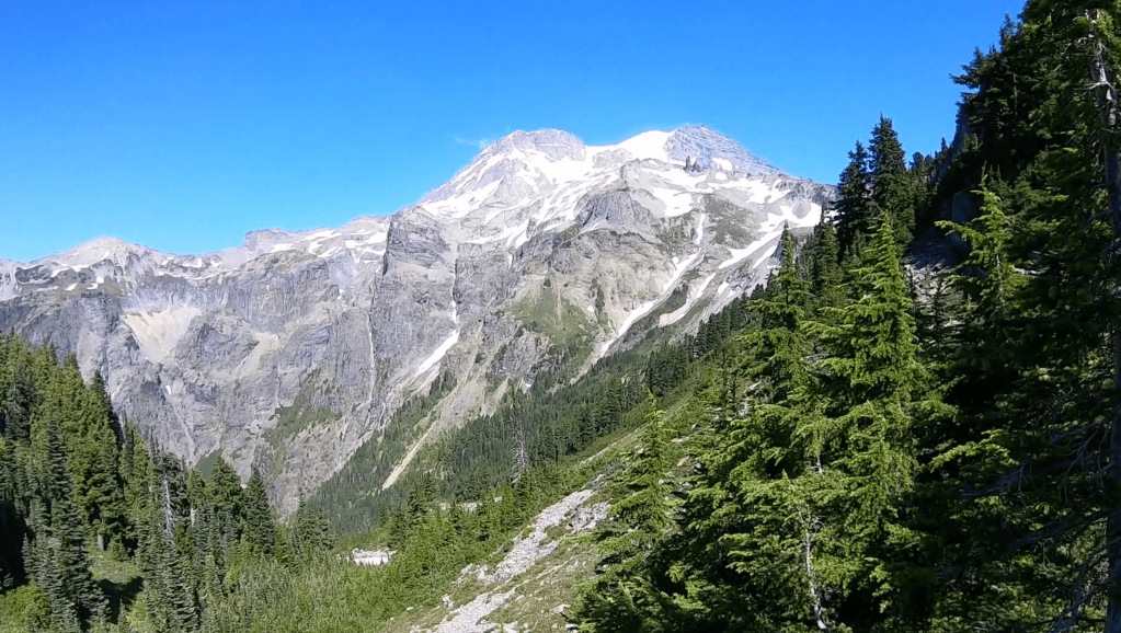
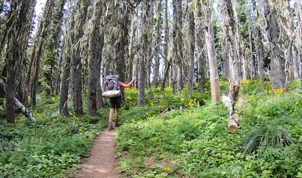
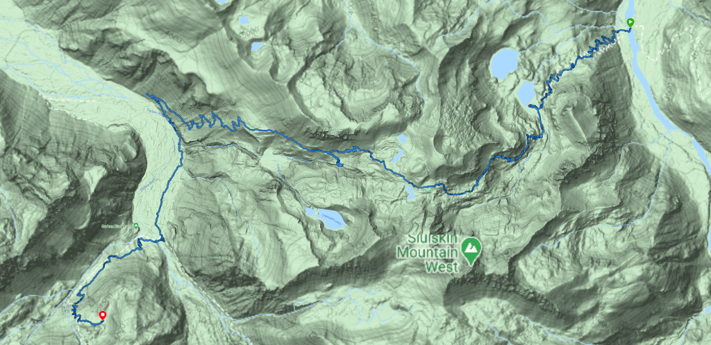
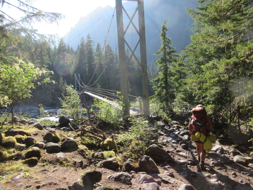
14 Days Around Mt. Rainier wasn’t an easy walk in the park. It included 150 miles at elevations between 2800′ to 6200′. When I added up the elevation gain and loss on my Garmin, it was 60,000′ up and down steep trails carrying a backpack that weighed any where from 32 pounds base weight to 38 pounds with food and water.

Prior to the leaving in August, I was training on average of six days a week for a triathlon I was was planning to participate in, in September. I worked at weight training in a high intensity interval class plus either, ran, walked with a backpack of 20 pound kitty litter or road my bike. On additional days I was off I would swim at least a mile.

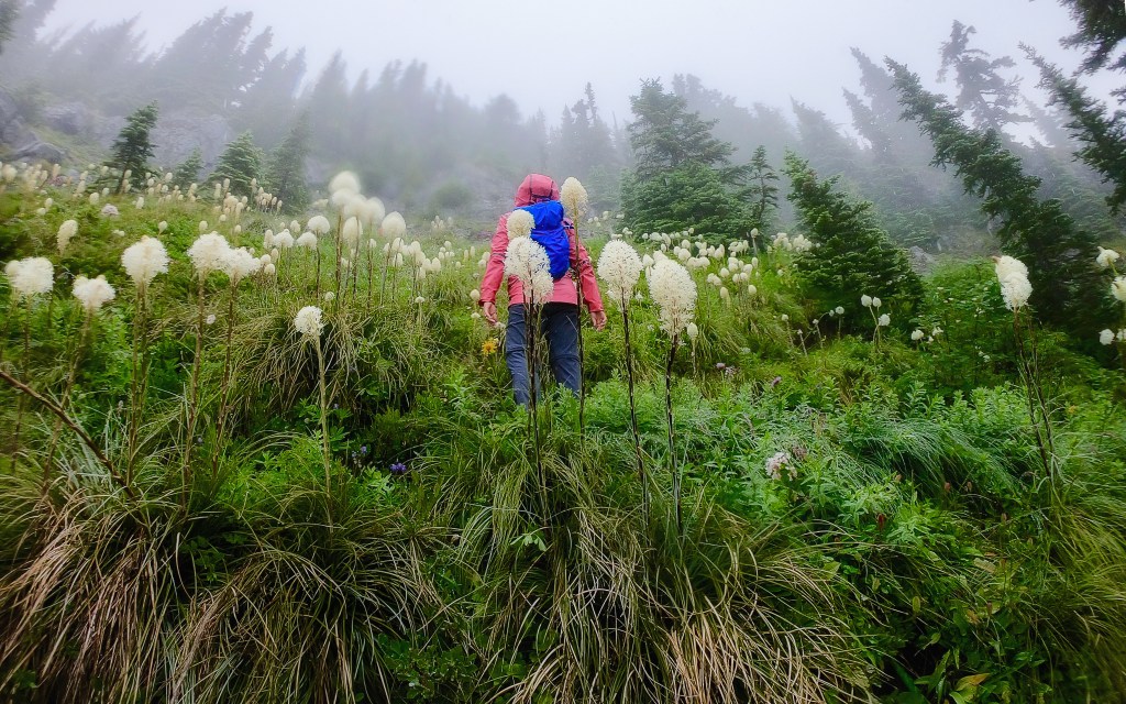
Regardless, still after all the training, each night we made it into to camp, I felt like I was crawling there.

Was there something I missed in my training, nutrition or equipment selection?

Giving myself a little more credit where credit was due, I compared myself to the many younger people who do not finish and leave early off the trail due to a variety of reasons. You cannot control the weather but you can control your physical preparedness and being physically unprepared is probably the number one reason hikers leave the trail. The second being rain or adverse weather conditions.

Putting physical preparedness aside, for me it was more of a personal, emotional and mental challenge that started my ability to live in the moment and relax with all that was around me.

This image has an empty alt attribute; its file name is screen-shot-2021-06-12-at-4.52.57-pm.png

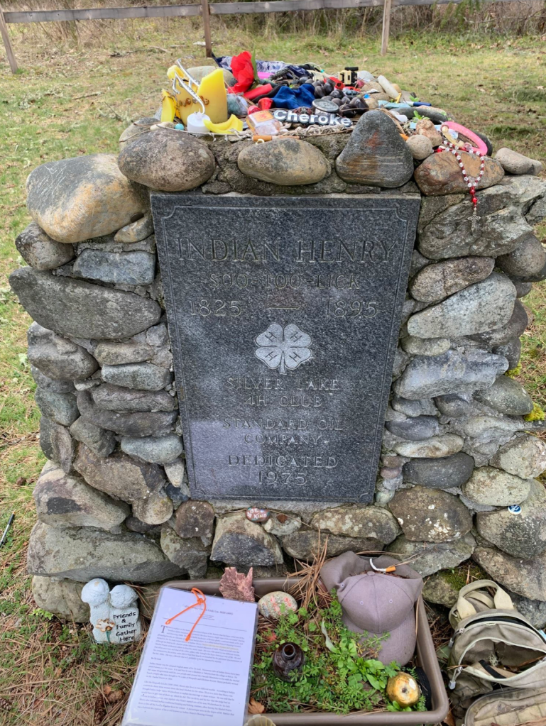
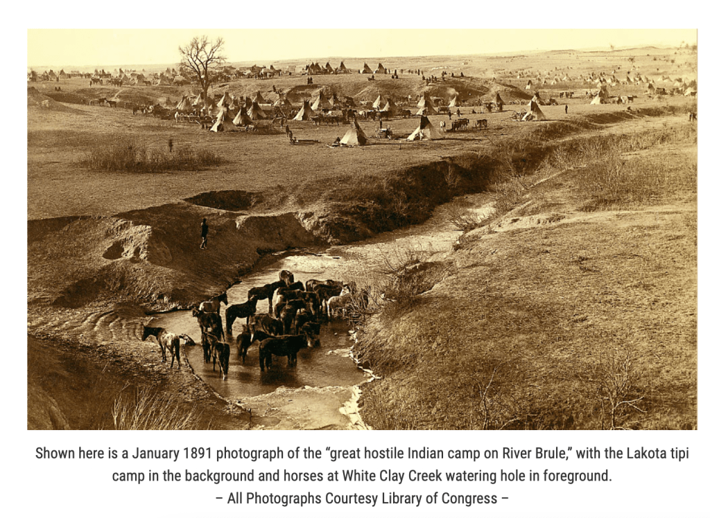
A Native American Tells His Story “Behold This Day”

by Black Elk Hehaka Sapa, Oglala Sioux, Lakota

Black Elk, 1863-1950, a holy man of Oglala Sioux, told the story of his life and his vision to the poet John G. Neihardt in 1931. He received the great vision by which he steered his life at the age of nine.

And a Voice said: “All over the universe they have finished a day of happiness.” And looking down I saw that the whole wide circle of the day was beautiful and green, with all fruits growing and all things kind and happy.

Then a Voice said: “Behold this day, for it is yours to make. Now you shall stand upon the center of the earth to see, for there they are taking you.”

I was still on my bay horse, and once more I felt the riders of the west, the north, the east the south, behind me in formation, as before, and we were going east. I looked ahead and saw the mountains there with rocks and forests on them, and from the mountains flashed all colors upward to the heavens. Then I was standing on the highest mountain of them all, and round about beneath me was the whole hoop of the world. And while I stood there I saw more than I can tell and I understood more than I saw; for I was seeing in a sacred manner the shapes of all things in the spirit, and the shape of all shapes as they must live together like one being. And I saw that the sacred hoop of my people was one of the many hoops that made on circle, wide as daylight and as starlight, and in the center grew one mighty flowering tree to shelter all the children of one mother and one father. And I saw that it was holy.

This image has an empty alt attribute; its file name is screen-shot-2021-06-12-at-4.57.25-pm.png

Live Your Life and Behold Each Day of Your Journey

1. If You Lack Confidence and Walk in Fear, Make a Plan

As I thought about using Nathan Olney as my first chapter, what gives me confidence is to have a plan and choreograph my moves. I used a table and on each day I had across each column, distance, elevation gain/loss, elevation of camp and miles. I memorized my map, studied each camp, planned each meal in every column and row. If this is what it takes to lessen some fear, do it. Otherwise you are the very adventuresome type who craves living on the edge.

2. When You are Faced with Humbling Challenges, The Opportunity You are Presented is to Think Things Though.

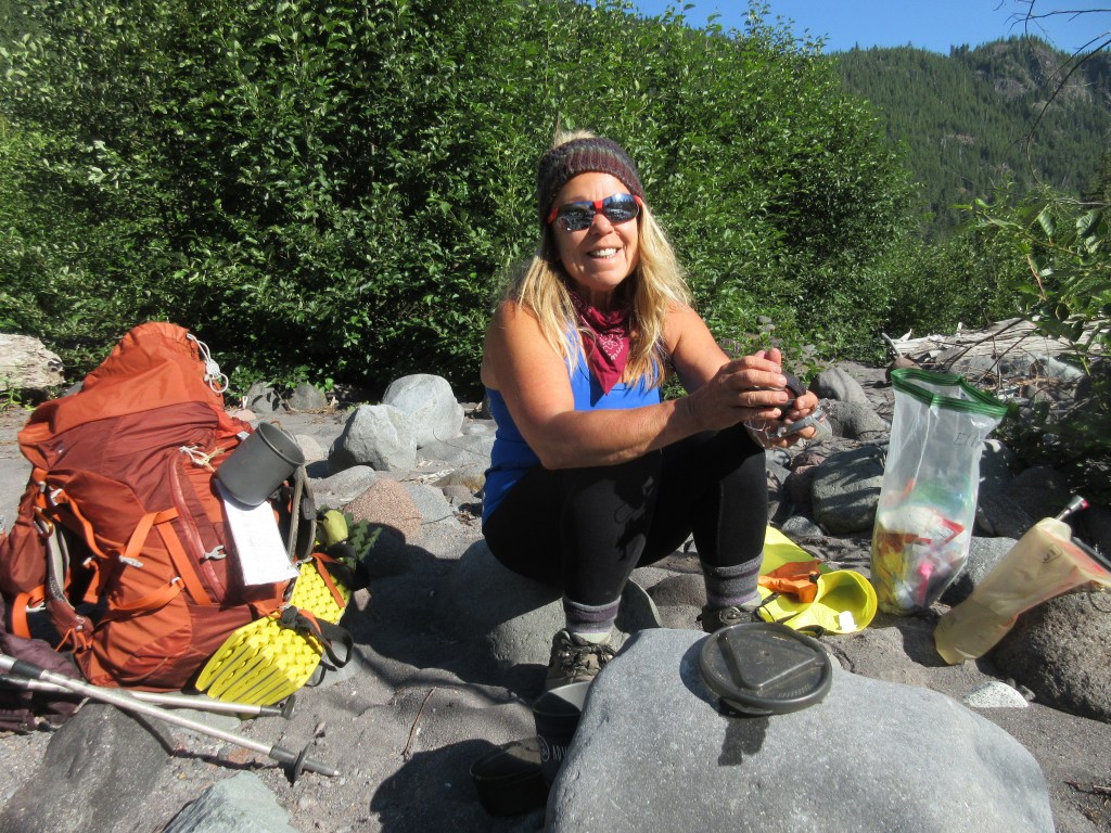
The option I chose most often was to break things in to manageable chunks. Most important, do not be in a hurry. Most of the time we arrived at camp at dinner time or later.

3. Grit is The Drive that Conquers Pain.

Beauty can be both great and small. Beauty always follows Pain, but you must keep your mind open, have enough trust and look for it. Having a Growth Mindset that you can do hard things is essential to staying with your plan and having daily reflection and practice that allows for you to seek positives in your life are essential to enjoying your journey when you need a rally.

4. Your Tribe Should Be Your Allies

If you are taking others along in your journey, go for a test run. Set limits on discussion if there are sensitive topics. Nothing is worse than to have a conversation hijacked.

5. Maturity and Wisdom Matters.

Use your experiences in life to apply to solving problems.

6. Decision Making is a Combined Effort

Over and over, we discussed the possibilities and weighed outcomes over dinner each night. We checked in with each other in the morning to make sure we were still good with the plan or if something came up as we slept on it. A good night’s sleep in a cozy tent of fresh air can inspire revelations.

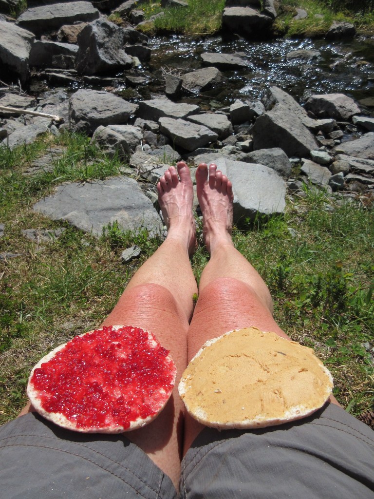
7. If You Are Always Hungry, Then you Must Learn to Delay Gratification

I’ve done a lot of reading on this topic. Being a retired teacher there is an abundance of research around children that can delay gratification are the most successful in life. Forage for food as much as you can, drink an abundance of water otherwise you’ll be miserable trying to pack treats and trail mix 150 miles.

8. Do not succumb to Competition. Through Empowerment We can Grow

Our capitalistic world has it backwards and there is nothing that shows this more completely than being on the trail together. This is your makeshift family and you all look out for each other. Any other way is a waste of energy and a distraction from what you should be focused on.

9. Experiences are what You Bring to the Table

Every person has something to offer in life no matter how young or old, little experience or well seasoned, they may have.

10. Reflection with Grace is Your Right Spot to Be.

LIVE Your Life and Behold This Day, It is Yours.

Indian Henry’s Hunting Ground

New Episode Now on Podcast “A Year of Wonderland

Indian Henry’s Hunting Ground, Mt. Rainier National Park

Indian Henry’s Grave

Earlier this year I finally made it to Indian Henry’s (Soo-Too-Lick) burial site.

I never realized Indian Henry had been near me where and when I lived in Eatonville all along. He wasn’t that hard to to find either. A 4-H Club had built his monument, a few Eagle Scouts later refurbished and cleaned up his grave, and years later here he lays south of Eatonville along the Nisqually area on the side of the Mashel Prairie Road. There is a small shaker church cemetery where he and only a few others rest.

If you remember from one of my episodes back, Indian Henry had been one of the three only Indian guides who was immortalized by areas of Mt. Rainier being named after them and he probably never fully understood at the time how one person could have such a big impact.

This image has an empty alt attribute; its file name is screen-shot-2021-06-06-at-7.26.18-am.png
Indian Henry Soo-Too-Lick
This image has an empty alt attribute; its file name is screen-shot-2021-06-06-at-7.26.36-am.png

Indian Henry 1825-1895

Indian Henry came to Western Washington in the 1850s, banished from the village of Simcoe, where my great great uncle was an Indian Sub Agent on the Yakama Indian Reservation at Ft. Simcoe for killing a medicine man. Today I am unsure if their paths had crossed.

Born Soo-Too-Lick in 1825, historians aren’t sure of his tribal origin. He is believed to be of Nisqually, Cowlitz or Klickitat origin. He eventually settled on the Mashel Prairie near present-day Eatonville in 1864 among other Native Americans primarily of Nisqually and Klickitat descent.

According to Edmond Meany, when Henry Winsor, a mail carrier, met Soo-Too-Lick he asked him his name. It was unpronounceable to Winsor prompting him to joke, “that’s no name-your name is Indian Henry,” offering Soo-Too-Lick his “Boston” name. The name stuck. Indian Henry adapted well to this name as he did with many of the customs of the “Boston” settlers. He was equally as comfortable with his Native customs and had little problems living within both of these “worlds.”

Indian Henry wore western style clothing and took up farming on the Mashel Prairie. He raised horses and cows as well as cultivated grains and vegetables. He was fluent in English and several Indian languages. He converted to Christianity. He was hospitable to both natives and non-natives, establishing many friendships and companionships. Many folks who headed to Mount Rainier would stop and stay at Henry’s homestead for a night, purchase supplies from him and use his guide services.

Indian Henry became known as an excellent woodsman and guide. He led several climbing parties to Mount Rainier, but never summited the mountain. Like most area Native Americans, he held the mountain as a sacred place and would not venture onto its glaciers believing to do so would bring bad luck. Some of the notables Henry guided included James Longmire, George Bayley, Philemon Van Trump, and A.C. Ewing. In 1888, Henry guided John Muir and his party to Mount Rainier. Fay Fuller spent the evening at Indian Henry’s place on her way to the mountain for her historical ascent.

Indian Henry Had Three Wives

Indian Henry had three wives as was customary of his people at the time. One story goes that Henry was brought before Judge James Wickersham in Tacoma to explain his marriage to these women.  The judge told him that he would have to give up two of his wives. He kept his first wife which he ended up having five children with including a son he named Wickersham Soo-Too-Lick. Despite the conflict of having to let go of two of his wives, he apparently didn’t harbor any ill will for the judge, naming a son after him. Henry respected that Wickersham had an understanding of native cultures. Henry’s other two wives remained nearby working for him.

Indian Henry became fairly well off. It was believed by many of the area settlers that Henry had a gold mine somewhere on Mount Rainier. He always paid for his supplies at the local mercantile with gold nuggets. Some area settlers looked for this mine around Henry’s favorite hunting grounds but to no avail. Aside from the gold, Henry made a decent living by providing travelers lodging and supplies at his farm.

Despite raising cattle and cultivating crops, Indian Henry often left his farm for periods of time to hunt and gather food for the winter; keeping within his native routines. One of his favorite spots for hunting mountain goats is a beautiful alpine meadow area splotched with sparkling tarns-a beloved place by hikers today known as Indian Henry’s Hunting Ground.

This image has an empty alt attribute; its file name is img_1031.jpg

Indian Henry’s Hunting Ground

Indian Henry’s Hunting Ground was one of the first hikes I took my 3 boys on.

Coming up from Kautz Creek, my then husband took our 8 year old twin boys and 6 year son on our first attempt. We started our adventure early in the day but soon the steep hill and large steps were too much for them. We ended up having lunch, treats, snacks, cookies, and just having fun playing in the forest that day.

Years later, my second attempt from Longmire was with my friend Diane. I believe it was around 90 degrees that day. We ran out of water, the bugs ate us alive, and because of the fact there was no way to treat water or filter water on me that day, I ended up jumping into snow banked Mirror Lake to cool down. If I wouldn’t have, I probably would have become so dehydrated, I wouldn’t have made it back the 17 mile round trip.

After that experience, we decided to only go in early or late summer and not during the heat. Diane and I would spend many years hiking in this area between the Nisqually entrance to Paradise and Camp Muir. It was my good fortune to have a friend like her during a difficult and challenging time of my personal life after becoming a newly divorced 40 year old with three teenage boys.

This image has an empty alt attribute; its file name is img_0566.jpg

Puyallup, Klapatche, and the few Native Languages on The Wonderland Trail

The following is a prelude to Video Episode 12 you can either click here to watch the video or read through and click at the end.

Chapter 17 Synopsis: Some of the most spectacular scenery met with some of the hottest and strenuous conditions, Lisa and Sandy find themselves pushed to their physical limits and under a time crunch to get to make it to South Puyallup Camp before nightfall. 

Learning the Native Language of Town Names

My hometown is Puyallup, pronounced Pew-all-up. Generations of my family have lived here since the early 1900’s.

Arriving from Buffalo, New York, my great-great grandparents purchased 10 acres of land in the Fruitland area of So Hill. A cable car conveniently ran from downtown Tacoma through the outskirts and then past our farm and then continued down Fruitland Avenue to Puyallup.

Our farm was one of the only farms that had a spring year around on the hillside. My grandmother said many people would stop at the spring, which was small, to get water. As a kid growing up this small 5′ in diameter hole created hours fun as I remember sinking my feet in the thick, gooey mud and searching for small amphibians. Somewhat hidden and tucked away in the old growth woods, my grandparents and great-grandparents had arranged small rocks around the border of the front where one could rest a hand as they kneeled and stooped forward.

This image has an empty alt attribute; its file name is 7316-e-104th-st.jpg
Sharpe Knoll Family Home South Hill, Puyallup, Washington abt. 1940-50

The back side of the spring had a tall bank, where small ferns and roots would stick out. A small trickle of water added to the landscape where I imagined make believe friends and fairies.

Growing up here was magical. The back 7 acres consisted of a water pipeline and road that carried water from the McMillan Reservoir to the City of Tacoma. Beyond that was nothing but trees. Tall, deep, old trees with a wide deep trail, eight city blocks long that connected 104th st to 112th St.

Lisa and sister Heidi on left abt. 1967
This image has an empty alt attribute; its file name is screen-shot-2021-03-28-at-8.57.05-am.png
Lisa’s Home 104th St. So Hill Puyallup abt. 1961
This image has an empty alt attribute; its file name is screen-shot-2021-03-28-at-8.55.36-am.png
Lisa’s Home 104th St. So Hill Puyallup abt. 1961 Mom, Beverly on left, Lisa, Grandma Ruth, Great Uncle Carl
This image has an empty alt attribute; its file name is screen-shot-2021-03-28-at-9.03.06-am.png
Lisa with brother Jack on left, and Heidi abt. 1967

Along with the early stories of my grandmother and uncles traveling to Longmire, a two day trip before good roads, this is where my love of nature and the natural surroundings transpired.

My grandmother and I would take daily walks through here. By the time I was in second grade I knew most of the names of the small plants and types of trees the forest held. We would be pick wild strawberries, tiny and sweet from the borders of the thick woods. Red Huckleberries would poke their shrubby heads up out of stumps that would make a yummy small pie. And always the grand finale of the walk was to go up to the top of the pipeline road to see if the mountain was out.

My parents and brothers and sister and I lived next door until the late 60’s. My grandparents lived here until the 70’s, then my husband I did until the 80’s. My great-uncle, my grandmother, my mother, my dad, my self, my brothers and sister, my niece, nephew, cousins, and now my grandchildren either all graduated from Puyallup High School or currently attend Puyallup schools. Many of us still live in the area but nothing but the spring and the old house sitting alone my grandparents lived in still remain.

Puyallup has changed into freeways and strip malls like most of urban-housed, grange-fed America.

Climbing Trees and Mountain Trails

Thinking back another great pass time of mine was climbing evergreen trees. There were a few favorites of mine, a cedar in our side yard between my parents and grand-parents house and a fir at the front edge of our property even thought there were many others to choose from.

The cedar’s branches were always coated in a fine green dust and pointed down, probably because the limbs were abundant and rarely disrupted. It was those limbs that saved my life once as I slipped, lost my grip and fell about 30 feet once. Hitting each limb, broke my fall and I ended walking away with just the air knocked out of me.

The fir was another story. My dad cut the limbs off the bottom so I could not reach the branches to climb. A portable step made out of a tree trunk was a local find in the gully and I easily rolled it to position. The tree climb was easy here up sixty to eighty feet. Even better was a windy day when you swayed with the top of the tree and could see all your neighbor’s yards front and back within the same block.

Day 12

Golden Lakes, Klapatche Park to South Puyallup Camp

This image has an empty alt attribute; its file name is screen-shot-2021-03-28-at-8.39.14-am.png

A willingness to endure some discomfort is the type of passion it takes for this stretch of the Wonderland. With August temperatures nearing ninety degrees, Sandy and I made our way from Golden Lakes through Sunset Park to the South Puyallup Camp.

Approaching some of the most beautiful scenery imaginable we stopped for a snack at the very end of the Westside Road before heading up to Klapatche Park. Now closed at mile two, Westside road was grand memory of times when we used to drive it to day hike in high school.

This image has an empty alt attribute; its file name is screen-shot-2021-03-28-at-8.45.57-am.png
Tahoma aka Mt. Rainier

This is when the heat started and Sandy’s blisters from her new boots became worse. Hiking up the hill in the heat, we approached Aurora Lake and we decided to stick our feet in and have lunch. It made for a nice spot because our friends from Golden Lakes were camping at Klapatche and the four women were no where in site.

The three of us walked around through the lake, cooling off and lunching with the lake lapping up the reflection of Mt. Rainier. Klaptache Park is the place to stay.

Making our to St. Andrews Lake, we break at the top in the heat of the day. I will never forget this being one if not the most beautiful spots on the trip, the exhilaration of the view and colorful and explicit language of our feelings of being completely done.

With weight of heavy backpacks, the heat, and uncomfortable footwear we continued unbroken but spent as we gently stepped our way down a long forgiving trail to South Puyallup Camp.

To live here you know the native names Puyallup- Pew-all-up, Tacoma- Ta-co-ma, Enumclaw-Eee-numb-claw, Sequim-Sqim, Snoqualmie- Snow-qual-me, Olympia- O-limp-pia, Mowich-Mau-ich, Klapatche- Kla-patch-ee, and the real name of Mt. Rainier, Tahoma- Ta-ho-ma

This image has an empty alt attribute; its file name is screen-shot-2021-03-28-at-8.46.47-am.png
Klapatche Park to St. Andrews Lake with Mt. Rainier (Tahoma)

 Video Episode 12 click here to watch the video.

Far Into The Northern Loop Trail

Far Into The Northern Loop Trail

The following is a prelude to Episode 9 Video. You can click and watch here or read and click the link at the bottom.

Video Synopsis: Episode 9 finds Lisa and Shannon covering the most mileage of the entire trip with over 6600′ vertical gain and 6600′ vertical loss. Lisa finds trail miles are a lot longer than regular miles as she pushes across the Carbon River Suspension Bridge with still another uphill climb with epic scenery hardly ever viewed. Runtime 12:25

The Big W– Where the Boots Meet the Trail

We plan to leave early, breaking down camp before breakfast around 6 am. The decision last night was to get to bed early, put a few miles behind us and to cross a sketchy river crossing at the West Fork of the White River in order to enjoy breakfast stretched out in the early sunshine. 

Shannon titled this day the BIG W due to the elevation loss, gain, loss and then gain again. Her title made it simply understandable of the amount of miles ahead of us this day. 

Planning ahead, if the miles wouldn’t challenge us enough, the West Fork of the White River crossing known to be hazardous, and the elevation gain and loss certainly could. Reports of years of downed timber and limbs and blow downs strewn everywhere, we wanted to put this section behind us early. Recent reports had been good that the foot bridges were in place and stable so our positive outlook remained optimistic.

Remote and seldom maintained by the park due to limited access to get trucks or machines to the area, rangers and crews on foot carry chainsaws and hand tools to do the work Mother Nature and her forces push at them each winter. I remember seeing a trail on a map that continues down the east side of the West Fork of the White River. Just as we start heading west to cross the map showed further north leading to the boundary and possibly a forest service road that is used to maintain the trail crossing.

Other than that, this portion of the Northern Loop is an often overlooked by backpackers as a must do. Most prefer to go on The Wonderland running inside and closer to the mountain. 

Early Morning Hike to the West Fork of the White River

Along the southern ridge we could see the deep valley below with the West Fork of the White River. We survey the river towards then up towards the mountain leading to the Winthrop Glacier. The forest floor exploding full of bright green foliage and yellow wildflowers. Around the corner of the ridge, the trail now down switches back and forth and back and forth and back and forth with long easy switchbacks lasting miles.

This forested section appears very dry comparatively to the other lush areas of the wet landscape of Rainier. The dropped needles on our path look dry and hardy. There were minimal trickles and creeks spilling across the trail, which made the trail a gradual slopped descent to the river. The trees still towering above were smaller in size and meek in girth. We saw no one as The Northern Loop is very much isolated as predicted compared to The Wonderland Trail. 

Shannon at the south ridge looking over to the West Fork of the White River

Hearing the river below as we near the crossing, then seeing it before us, helped push our mental state through the delta of silt. This hard to find trail has been diverted several times over the years and it could take some bushwhacking and common sense. My thoughts were how difficult the navigation must be in the snow early season or depending on the time of day or the time of year. 

When we see the sign to the crossing, indeed showing there is a way to continue north to the park boundary, we have already started picking huckleberries and eating them. We imagine fairy gardens on logs and are entertained by the mushrooms and moss that could be hiding little people.

Breakfast of fresh huckleberries and oatmeal

Breakfast at the West Side of the West Fork of the White River

I’m sure Shannon would agree this one of the nicer places to have breakfast. We pull out our stoves, take off our packs, boots, coats, and bask and enjoy our little outside diner complete with fairy gardens, water features and the sights and sounds of the morning.

Van Horn Creek and Falls

At Van Horn Falls we come across two men who appear dressed in street clothes. They seem as startled as we do. After seeing no one for hours, imagine coming across two younger men out in the middle of no where. We stop to filter water and a brief hello to survey the falls.

Van Horn Falls

A Mountain to Climb

Still continuing on The Norther Loop Trail, we begin the steep ascent next to Redstone Peak, a mountain range to the north and slightly west of Rainier. Beyond will be Lake James, Lake James Camp then a range with jagged mountain peaks with names like Sluskin of Native American legend, dotted with lakes. 

Lake James

Seemingly uninhabited, Lake James I read feeds the Van Horn Falls. The lake looks shallow as the beach sides are also shallow. The lake I’m sure fills with grasses and the sunlight reaches the soggy bottom. 

Lake James Camp was on our list to stay but it was “full”. We find that most of our trip has shown full campsites on paper but there must be a lot of “No Shows” because we see no one at Lake James and hardly no one on the trail either coming or going, person, squirrel, bear or ranger.

Lake James

Sluskin

The Sluskin Range is named for the Native American, Sluskin who guided the first successful ascent of Mt. Rainier by Hazard Stevens and P.B. Van Trump in 1870. The mountains are named, The Chief, The Squaw and the smaller ones papooses. 

History reads the name Sluskin was used in several generations after the Stevens and Van Trump summit as well. Native Americans from the Yakama Nation were given hunting rights and treaties were carried when they frequently hunted at Yakima Park adjacent to the Sunrise area of Mt. Rainier. Recounts of rangers coming into camp are now part of the park’s history. 

My family has its own ties to the Yakama Nation. My great-great Uncle being the only non-native buried at Ft. Simcoe, Nathan Olney. 

Fire at Redstone Peak

As we head from Lake James we notice a tall peak to the south. Large boulders have fallen all around. Trees appear lifeless, limbless and scorched at the trunks. 

I spend the better part of a day researching the fire here. At the time of this writing the only mention I can find is there was a fire here and the next mountain over at Grand Park at some time in the 1960’s. 

Fire remnants at the foot of Redstone Peak

The trail is a steep gain to a beautiful alpine meadow where wildflowers are blooming and another perfect spot to bask in the sun contemplating lunch. 

We stop near the top of Van Horn Creek to rest our feet and get lunch in this lovely picnic spot perfect for a break.

Across this area to the Natural Bridge, Crescent Lake and mountain, was the some of the most beautiful scenery on The Northern Loop. It felt like being in the Alps or at least the opening scene of The Sound of Music. Wildflowers, alpine lakes, craggy mountains topped with snow, meadows, walls of andesite, and easy trails made this section just after lunch a needed break to the uphill along Van Horn Creek. 

Crossing down the backside of Windy Gap the switching back over 5 miles went quickly with the Carbon River Glacier ahead of us then back up to Cataract Valley Camp.

Lisa looking back at the dead trees east towards Redstone Peak 
Sluskin Range, Windy Gap and Independence Ridge

Yellowstone Cliffs

Towering to the North of Windy Gap the Yellowstone Cliffs emerge create a hidden spot in the wildflowers to have another backcountry camp. We take a short tour of the camp, with the signs of one group who appeared to have camped there. 

This is where the trail descends 5 miles downhill to the Carbon River.

We literally saw no one the remainder of the day as we went across the Carbon River Suspension Bridge. Most hikers would have been at camp by now but our had been long and arduous. A solo woman hiker who didn’t speak to us, probably because she had equally as long of a day, was going to Carbon River Camp as she turned downhill. The sign at our junction pointed us up where we encountered a couple who encouragingly told us Cataract Valley Camp wasn’t too far after a long, long day.

Carbon River Suspension Bridge

The upper part of the Wonderland trail here became heavily used. The steps up were rocky and steep, worn by boots and people. Coupled with my legs not wanting to move at the end of the day, my backpack felt heavier and my trekking poles were a blessing that gained me additional help up.

As we crossed the Carbon River we gave our thanks and said our good-byes to the lovely, peaceful, serene spectacle that was The Northern Loop Trail.

Video for Episode 9 You can click and watch.